I started the morning with a trip to the leg-making guy. We've got a new one fitted and it should be ready in a week. Give us another week to work the kinks out and I should be back to regular walking again for the first time since mid-December. Yay!
Then I left the leg place and bopped on down to the airport, because the weather was just too nice today.
First thing I saw was this little Light Sport CTSW.
It's like an airplane, only smaller.
Civil Air Patrol was flying today, too. They have a Cessna 182T.
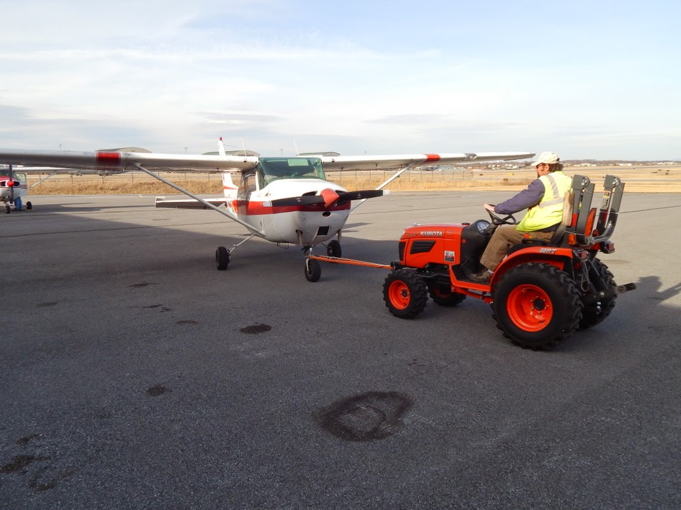
But me, I'm just happy with Beetlebomb, here.
First thing I saw when I got out here was that the plane had been moved in it's tie-down slot. The tail was shifted to the left about two feet courtesy of last week's insanely high winds (Gusts recorded at 55mph at the airport). The tie ropes were either rock-tight or completely slack, depending on which side of the aircraft that they were on. Good thing I'd cinched them down two weeks ago before the weather hit. The other planes on the line appear to have been wind-shifted as well. But everything checked out ok on the pre-flight other than a weak battery (which still started me...eventually) so off we went.
First target: Shepherdstown.
Once I get me back in action, I'll be down there doing a fair bit of running, cycling and kayaking on the Potomac and the C&O Canal towpath over on the Maryland side.
Bakerton Quarry, just waiting for Aaron to come down so we can do some diving and check out the caves.
And Harpers Ferry from the west, looking down a swollen Potomac River after all the recent rains.
With the leaves all down, I've got a window for some photos that are otherwise impossible to get--the old Civil War stone fort atop Maryland Heights.
Visible below the ridge line here is the trail--an old wagon road originally--leading from the river to the fort up top.
The fort sits at 1,400 feet, about 1,000 feet above the river and surrounding terrain. It's a hell of a hike on a decent day, made all the more fun when you realize that the soldiers who built and manned the fortification had to schlep everything up there--food, water, building stones, cannon shot and Parrot rifles that weighed ten tons and threw hundred-pound shot down at people below.
It is such a workout to climb up that, following the Union victory at Antietam, President Abraham Lincoln was going to review the troops at this fort but he gave up on the climb about a third of the way up, turned around and left.
When the fort was in operation, the entire top third of this mountain had been deforested to clear fields of observation and fire for the guns. Now it's all grown back and in a couple of weeks, the leaves will be so thick that you won't be able to see any of it from the air. I'll be torture-walking two dogs up there soon enough.
Here's Harpers Ferry again.
You can't really make it out in this shot, but there's someone on that back porch making obscene gestures.
Next, it was Winchester, Virginia for a few practice landings, sharing the pattern with a Citabria and a Piper Cub.
The Cub did good, but that Citabria was making some scary-wicked short landings right on those stripes, cutting it closer than I would have considering how the grass immediately off that pavement is a steep incline.
After a few circuits there, I crossed the Blue Ridge and paid a visit on Upperville, "the airport that isn't really there".
It's a 5,000+ foot strip, but it has no hangars, no aircraft on the field, and a bunch of less-than-friendly "RESTRICTED" markings all over it.
For facilities, all it has is parking for a few cars and a couple of small buildings near a small parking pad.
It looks like it's set up for people to drive out, get on some mystery plane, and return later after a trip to who-knows-where.
I didn't stop here.
This is "rich people land", though, so stuff like this might not be out of sorts. In fact, here's a nearby residence. And yes, it's one house.
I need that sort of money. But then I would not have a house like that. I'd buy warbirds then use them to take over some small resort island which I would make into my own sovereign nation. Maybe Mackinac Island. It's already got a runway...and a fort.
From Upperville, my flight track took me back over my friends at
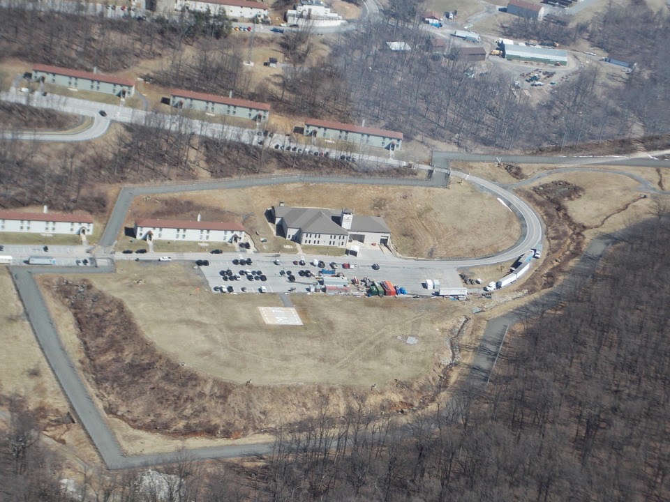
Mt. Weather.
It's really more interesting from this side. Note this area in particular--a secure compound within the secure compound. That gray "track" you see around it is double-row security fence.
And in the middle of that compound, there's this neat little building next to the helipad that could be a church or a fire house most anywhere else...but I'm willing to bet that it's not, and that that tower above it serves purposes other than bell-ringing.
It's landscaped very nicely but if you look close, you can just tell that it's merged into the hillside behind it. What do you bet that it's one of the disguised portals leading into the hardened shelter site below? This is, after all, the place where our leaders in Washington are to be evacuated to to survive any catastrophe that they cause. Supposedly it can house several hundred people for months.
And look, on the west side of the complex, an identical set-up: another little "firehouse" up against the hillside, surrounded by double-row security fencing.
Bye guys!
Lest ye be worried, I'm not disclosing anything that's already not
in the public domain. This place is
rather well documented and no longer "secret" like it was back in the 1960's. (Even FEMA has
a web page about it.) Still, since they like to harass pilots flying over by
sending spotlight-wielding helicopters to chase them off, I figure that there's got to be something down there worth looking at.
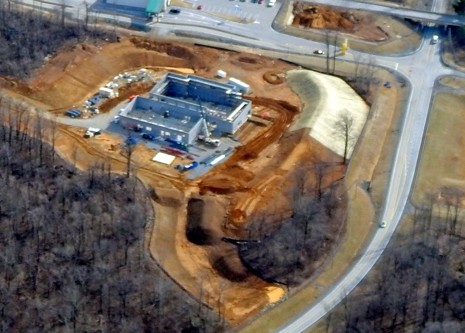
Having had that five minutes of fun, I flew back toward home, passing over one of my other favorite spots--the place where the government contractors train to do the stuff that we don't want to use our soldiers for.
Looks like they've got some more up-armored HMMV's down there. Bet those SUVs down there weigh a bit more than factory-standard, too.
Looks like the rumors I've heard about them building some new training mock-ups are true, but I won't post those pictures yet because there may be some op-sec issues involved there. Plus, these folks never sicced a helicopter on me so we're ok.
A bit more playtime, and then it was back to the home field for a few more practice landings. I wasn't going to shoot any more, but since the winds were coming from the east for a change, it opened up Runway 8 and I don't get enough practice on that one, so I did a few touch-and-gos, alternating left and right traffic patterns.
Score for the day: 2.1 hours of fun that covered three states. What great therapy to shake off those winter blahs.